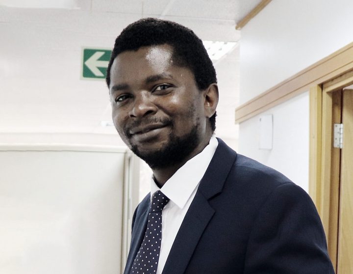
MEET! Msilikale Msilanga – Department of Geography and Geology
Msilikale Msilanga
Msilikale Msilanga is spatial planner by education, and a person who wants to use his skills and knowledge to help the community. Msilikale’s home city Dar es Salaam in Tanzania is the fastest growing city in Africa, and also the informal settlements continue to increase there. After graduating from Ardhi University, Msilikale started to identify the informal settlement challenges that could be seen and acted upon by the Government.
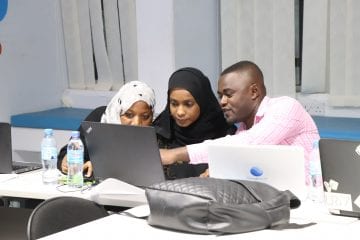
Msilikale has been working at the World Bank Tanzania focusing on many projects related to geospatial, ICT and community mapping in Tanzania and other African countries. For instance, he has co-led the Ramani Huria community mapping project in Dar es Salaam. So far, Ramani Huria has impacted over 3.5 million residents of the city by providing basemaps and flood evacuation plans.
Currently, Msilikale is working at the Department of Geography and Geology at the University of Turku (UTU) and managing Tanzania Resilience Academy project from Finland. The project is led by four Tanzanian universities − Ardhi University, University of Dar es Salaam, Sokoine University and State University of Zanzibar − with UTU acting as the Secretariat. Also, the Delft University of Technology and the University of Twente from the Netherlands are involved in the project.
The aim is to develop a long-term practice to support the generation and usage of geospatial data for urban resilience and to embed the associated academic and practical skills into the Tanzanian Universities.
Resilience Academy objectives are based on the following activities:
- Establish a Climate Risk Database (CRD) environment as a content management system for climate risk information and research,
- Develop open-access education materials regarding the usage, analysis, and visualization of data contained in the Geonode through partnerships with local Tanzanian Universities and to support the integration of these materials into university curricula and training of the staff and students,
- Develop a Student internship modalities model based on partnerships with end-users with the aim of updating the geospatial data and providing university students with practical skills needed to apply their acquired academic knowledge in society and
- Research and Innovations, coordination and planning research and innovation opportunities between university partners, different actors and Resilience Academy.
At the moment, the project that Msilikale is leading aims at establishing the Secretariat, which secures the service delivery of the Resilience Academy and adds capacity for digital assets management, research and innovation initiatives and dissemination.
You may read more about the project here: https://resilienceacademy.ac.tz/