Mapping Peruvian Amazonia using satellite images
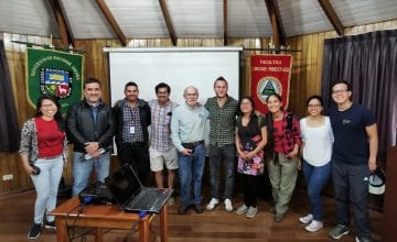
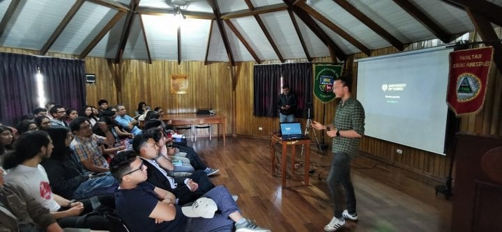
One of our members recently participated in the Peruvian National Forest Week organized by the Forest Sciences Faculty of La Molina National Agrarian University in Lima, Peru. The doctoral researcher Pablo Pérez Chaves gave a presentation of his research regarding the use of satellite images and field data from forest inventories in order to map the distribution of important tree species and floristic patterns in Peruvian Amazonia.
Remote sensing data, such as satellite images, provide spatially and temporally continuous information that is useful for diversity assessments. The combination of remote sensing data and field data can help us make better decisions regarding biological diversity since we can predict patterns and distributions in areas where field work is still missing. Preliminary results show that it is possible to map the distribution of trees at local scales using Landsat satellite images. Similarly, we can use satellite images to also map floristic patterns at larger scales. Mapping at different scales allows us to identify suitable areas for management and conservation purposes, and provide simple tools for decision makers.
In the photos taken and provided by Revista Naturaleza Interior, doctoral researcher Pablo Pérez is accompanied by Victor Barrena and Juan Carlos Ocaña, professors from the Forest Science Faculty and a group of voluntary members of the Forest Science’s Student Association.