Keynote Speakers
<Back to Programme | takaisin ohjelmaan
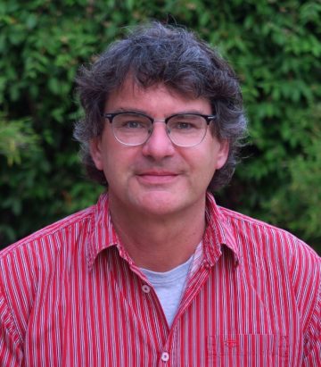
Georg Bareth, University of Cologne, Institute of Geography, GIS & RS Group
Keynote: Remote Sensing and Proximal Sensing of Crop Traits
Since 2004, Dr. Georg Bareth is Professor of Geoinformatics and Head of the GIS & RS Group at the Institute of Geography, University of Cologne, Germany. He also is currently serving as Vicedean of the Faculty for Mathematics and Natural Sciences of the University of Cologne and as Vicepresident of the German Society for Photogrammetry, Remote Sensing, and Geoinformation. He graduated in Physical Geography from Stuttgart University in 1995. From 1996 to 2004, he earned his Dr.sc.agr. and Habilitation in Agroinformatics at the University of Hohenheim, Germany. One major research interest of Dr. Bareth is the development of proximal and remote sensing methods for crop monitoring on which he has been working for the last 25 years.
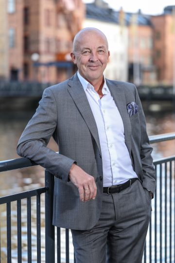
Hans Siljebäck, Strategic Projects at IBG
Keynote: Drones and Nature Values
Hans Siljebäck is responsible for strategic projects at IBG, an infrastructure company in the Aviation and Advanced Air Mobility sector. We optimize airspace and airports and AAM infrastructure by providing project management, area expertise i.e. experts on regulations and procurement support. Customers are Governments, ANSPs, Airports, Municipalities and Regions. Hans is an engineer by education and has a background in city planning with a special interest in sustainability from an environmental and social perspective. Over the years he have had the luxury to be working with innovation in a couple of technological shifts in different industries. In his capacity as strategist at IBG he has been part of ramping up the Swedish workpackage in the CORUS XUAM VLD Project coordinated by Eurocontrol. Hans is also part of the managerial body of the European Digitalization and Innovation Hub (EDIH), named Aero, one of four EDIH Hubs in Sweden. Hans is responsible for the recruitment of business cases. Aero addresses digitalization challenges of Swedish SMEs, regional airports and public entities within Aerospace and related industries.
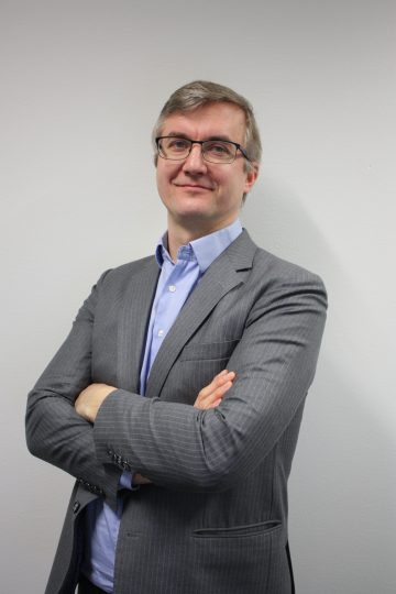
Jonas Stjernberg, SVP and Partner at Robots Expert (REX)
Keynote: Integrating Drones with Society –
Case: Emergency Medical Services
Jonas is Senior Vice President and Partner at Robots Expert (REX), a leading drone expert and sustainable mobility company. REX helps create value from drone-enabled applications, advises cities and regions on Innovative Air Mobility and helps drone manufacturers and operators with safety, airworthiness, U-space integation and training. Apart from serving its clients, Robots Expert is currently engaged in three SESAR and H2020 projects: GOF2.0, 5G!drones and AiRMOUR. Jonas has a long background in technology, in strategy development and in operations management in senior positions in both large enterprises and in startups. At REX, he is heavily involved with U-space, SORA, design verification and aviation regulation. Apart from his work at Robots Expert, Jonas the chairman-of-the-board of RPAS Finland ry, the Finnish UAS industry association (a member of JEDA). Jonas holds an MSc in Physics, an MBA in entrepreneurial finance and innovation, and pilots both manned and model RC gliders.
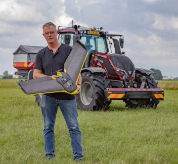
Christel Thijssen, owner of Loonbedrijf Thijssen and co-founder of DroneWerkers
Keynote: Developing Innovative Agricultural Contractor Services – Chances to Succeed and Stumbling blocks
Christel Thijssen is owner of Loonbedrijf Thijssen and one of the founders of DroneWerkers, a platform of seven companies providing precision agriculture services for modern farmers in Netherlands. He has long experience in developing and providing precision agriculture in the Netherlands.
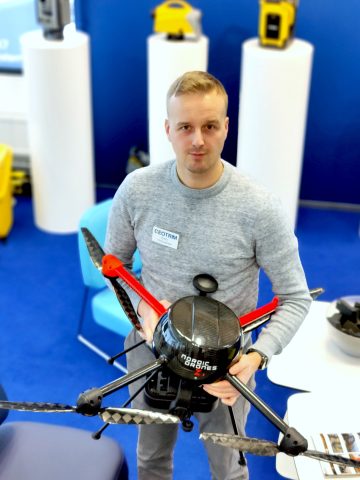
Eero Vihavainen, UAS Specialist, Geotrim Oy
Keynote: Operating drones outside the populated area – a regulatory perspective
Eero is UAS Specialist and Sales Engineer at Geotrim Oy. Geotrim has been a pioneer in bringing several new surveying and mapping methods to Finland and has been involved in many pilot projects. Geotrim also helps to create value from drones in surveying and mapping applications. Geotrim was the first company in the Finland to achieve operational authorisation for drone operations over uninvolved people at populated areas. We help our clients with the regulation and we offer professional drone systems and services.