Education
Courses
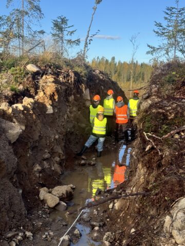
LiDAR -Based Approach on Glacial Landscapes (5 ECTS) is an annual course that enables students to interpret the evolution of Finnish glacial landforms through geomorphological mapping and practical fieldwork. Students will learn to utilize LiDAR-based hillshade and elevation data and practice basic sedimentological field methods.
Special Courses in Quarternary Geology (5 ECTS) – Clastic sedimentology course
Bachelor’s and Master’s thesis
MUST members support students who work with murtoo/geomorphology/LiDAR-related topics in their Bachelor’s or Master’s thesis.
Finished B.Sc. and M.Sc. thesis related to murtoos:
Kautto, Juulia (2022). The genesis of polymorphous mounds and ridges along the subglacial meltwater route of Sääksjärvi, SW Finland. Master’s Thesis, 73 pp., 8 app. [In Finnish]. University of Turku, Faculty of Science and Engineering, Department of Geography and Geology.
Porkka, Jutta (2019). Viuhkamurrosten morfologia ja suhde subglasiaalisiin sulamisvesireitteihin ja murtoo-muodostumiin (The morphology of fan shaped hollows and their relation to subglacial meltwater routes and murtoos). Bachelor’s thesis, 38 pp, 6 app. [In Finnish] University of Turku, Faculty of Science and Engineering, Department of Geography and Geology.
Tuunainen, Aleksi (2018). Effects of subglacial lakes on glacier dynamics in Southwest Finland? Master’s Thesis, 110 pp., 1 app. [In Finnish] University of Turku, Faculty of Science and Engineering, Department of Geography and Geology.