Research group involved in compiling a new guide for spatial data analysis in Maritime Spatial Planning
The Interreg Central Baltic project Plan4Blue released a new guide for cross-border spatial data analysis in Maritime Spatial Planning. It aims at improving the efficiency and transparency of spatial data analysis in MSP processes. Researchers of the Fluvial and Coastal Research Group and of the Centre for Maritime Studies have been responsible for the content of the guide.
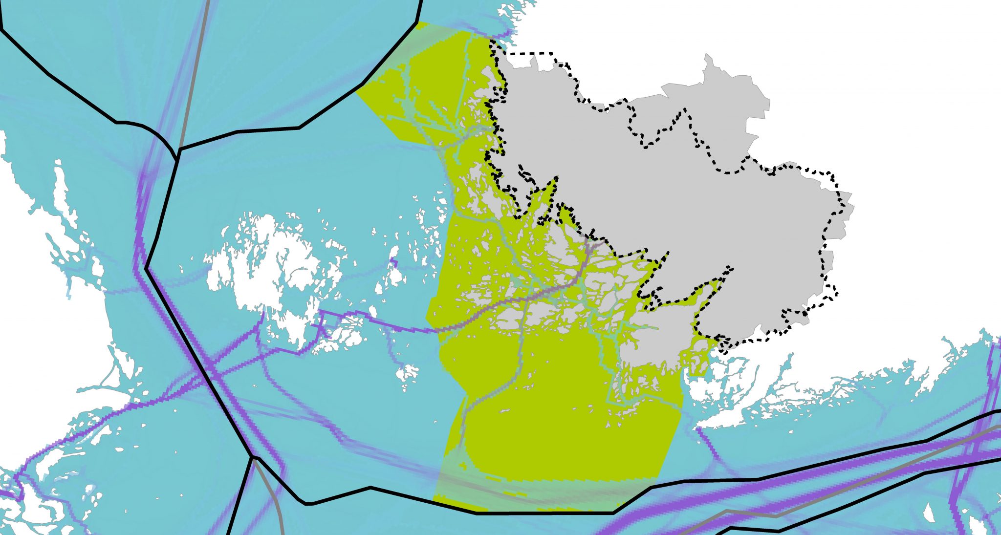
Spatial information and maps are one of the cornerstones of Maritime Spatial Planning. They are present at every step of the planning process and maps play an important role in involving stakeholders and the public in the process. Successful evaluation, collection, management, analysis and visualisation of spatial information are the key for making evidence-based planning decisions.
Member states of the European Union plan the use of sea space within their own territories. However, spatial data from the other side of administrative borders is needed, since the planning processes require awareness of human uses and the nature beyond borders. In addition, spatial information of economic, cultural and nature aspects need to be fitted together in the planning process. Compared to land use planning, spatial data utilisation in Maritime Spatial Planning faces many additional challenges. Therefore, the different practices in the management of spatial information across geographical and thematic boundaries must be carefully dealt with.
The guide is targeted at regional planners and spatial data officers involved in national and cross-border Maritime Spatial Planning. It aims at helping the regional planner understand and evaluate maps and other outputs of spatial data analysis. In addition, it seeks to assist the GIS specialist in understanding Maritime Spatial Planning and designing spatial data analysis workflows in a goal-oriented way. The content of the guide arises from literature and experiences from an MSP pilot project (Plan4Blue). The guide is an open access publication and can be downloaded for free.
> Download digital book (pdf 2 MB).
Publication details
Nylén T, Tolvanen H, Erkkilä-Välimäki A & Roose M (2019). Guide for cross-border spatial data analysis in Maritime Spatial Planning. Publications of the Department of Geography and Geology of University of Turku 12. University of Turku, Turku.
More information
Adj. Prof., university lecturer Harri Tolvanen and postdoctoral researcher Tua Nylén, University of Turku (firstname.surname@utu.fi)
Project Plan4Blue: www.syke.fi/projects/plan4blue