Maritime spatial planning and coastal zone management
The research group currently participates in two EU funded development projects, which support the ongoing maritime spatial planning (MSP) processes in the Baltic Sea countries. MSP is promoted by the EU, which established a directive in 2014 to set requirements for the Member States to finalize theis maritime spatial plans by 2021. The MSP process is inherently a complicated social and political process, which demands local, regional and international cooperation between administrative units and stakeholders. Research projects aim at developing methods and practices to support and improve the planning processes in the Baltic Sea countries.
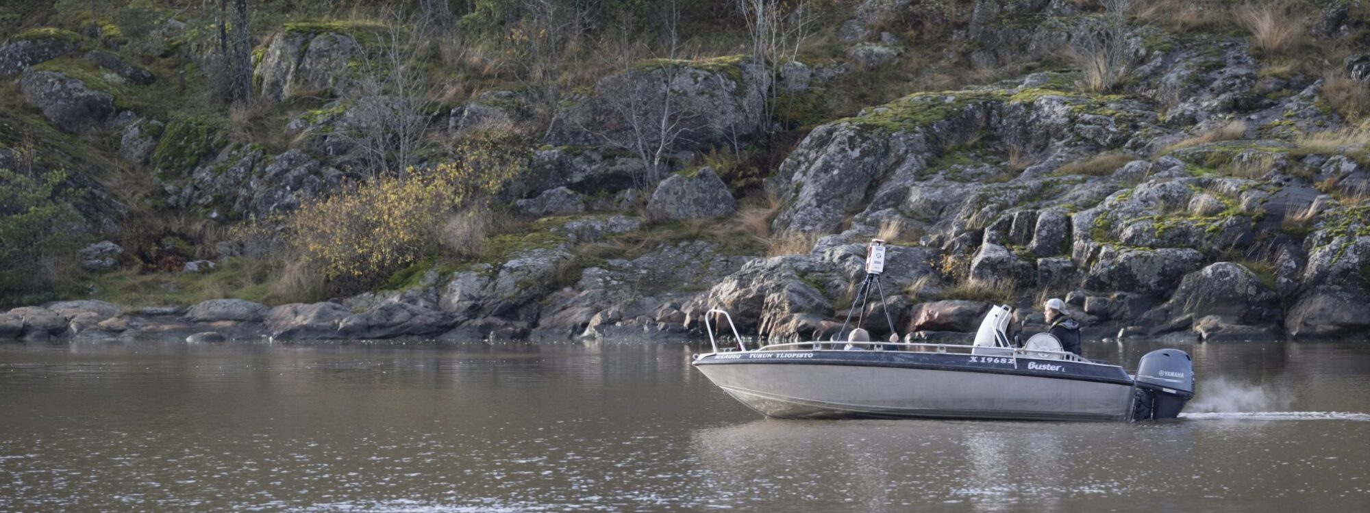
Photo: Ville Kankare
Research examples
Tolvanen, H. & R. Kalliola (2008). A structured approach to geographical information in coastal research and management. Ocean & Coastal Management 51(6), pp. 485–494. DOI.
Abstract:
In coastal areas different views, strategies, policies, practices and technologies about digital spatial data need to be viewed comprehensively. We propose a structured approach to enhance the use of geographical information in coastal applications in three different levels. The building of a Coastal Geographic Information System involves a clear determination of the specific information needs and user groups that correspond to the coastal area in question, and furthermore their evaluation prior to the actual implementation of the system. Second, primary coastal data can be effectively converted into coastal knowledge through enhanced conceptualisation, data combinations and spatial modelling, gaining better spatial data contents to facilitate research, administration and management. Third, Coastal Spatial Data Infrastructures should be promoted to facilitate inter-institutional collaboration and information sharing. The structured approach is presented using the case of the southwest Finnish archipelago coast as an example area.